ChatGPT:In the UK, “trig” typically refers to “trig points,” which are triangulation stations used historically for surveying and mapping. These are concrete pillars found on hilltops or other prominent locations, and they were used by the Ordnance Survey (the UK’s national mapping agency) to create accurate maps of the country.
Here’s how it works:
- Triangulation: Surveyors would use these trig points to measure angles between different points (other trig points) and calculate distances using the principles of trigonometry. By creating a network of these points, they could map out large areas accurately.
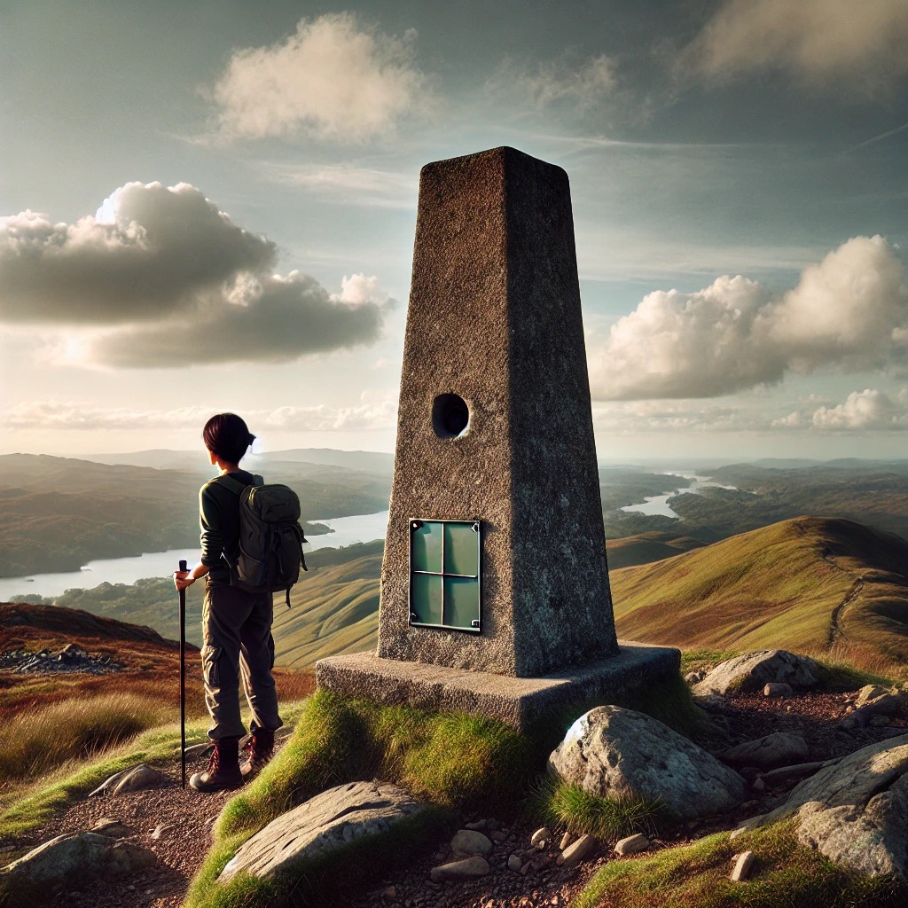
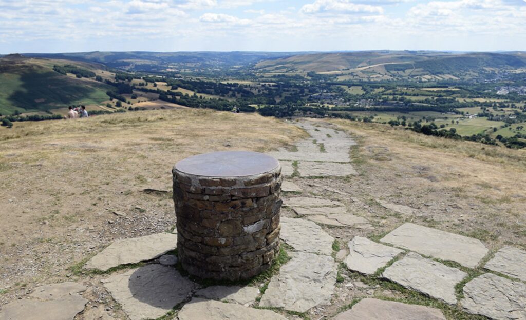
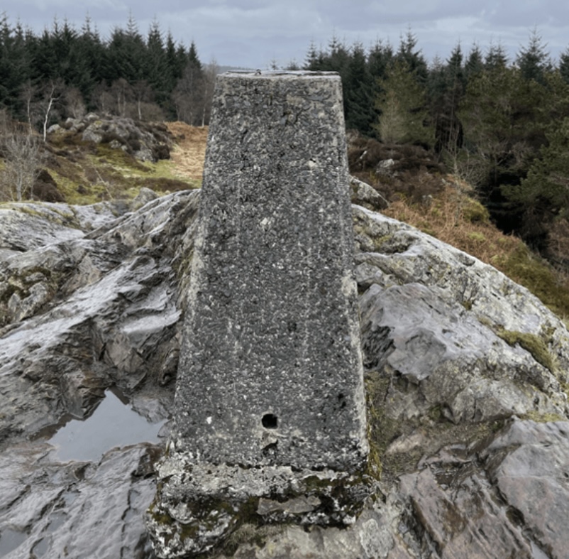
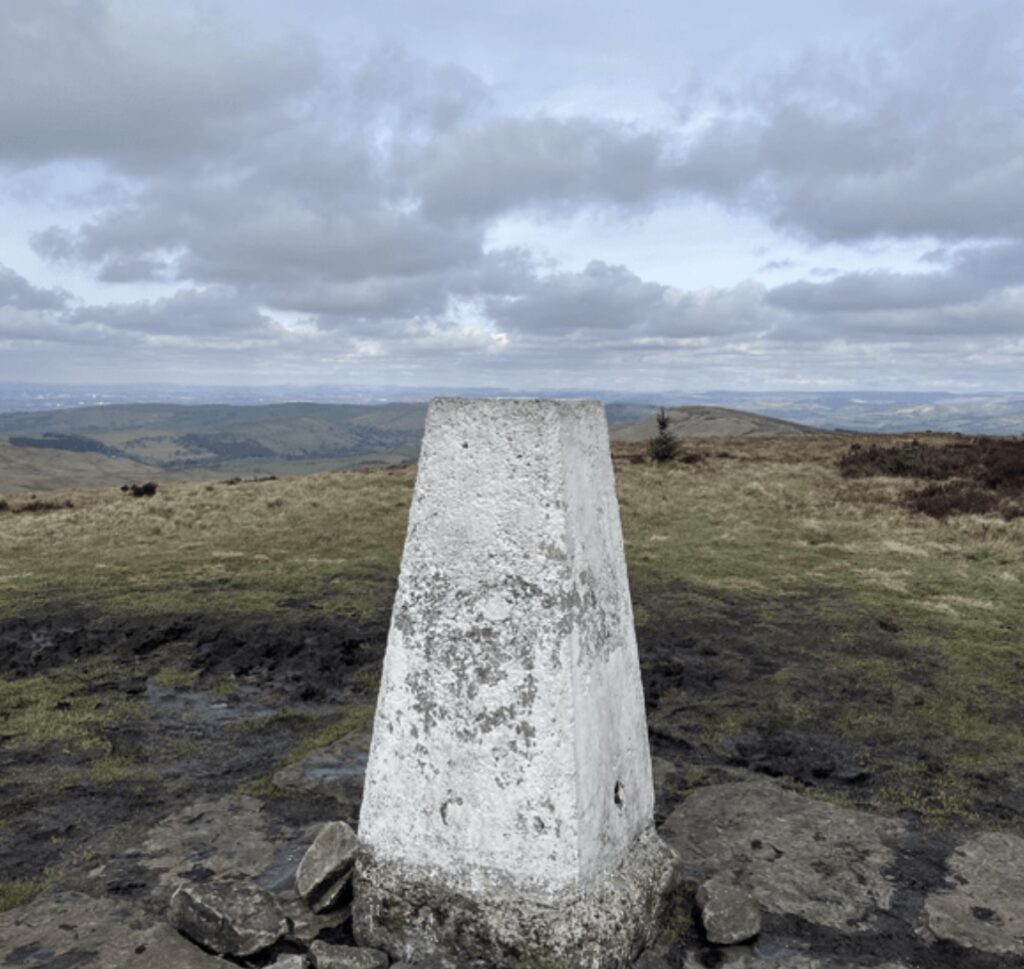
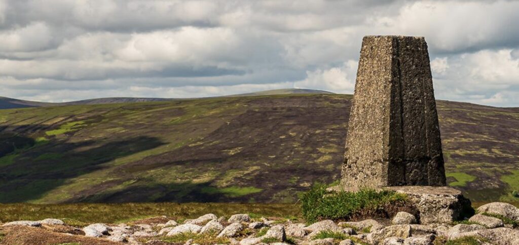
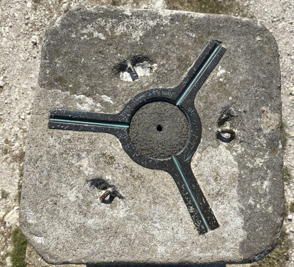
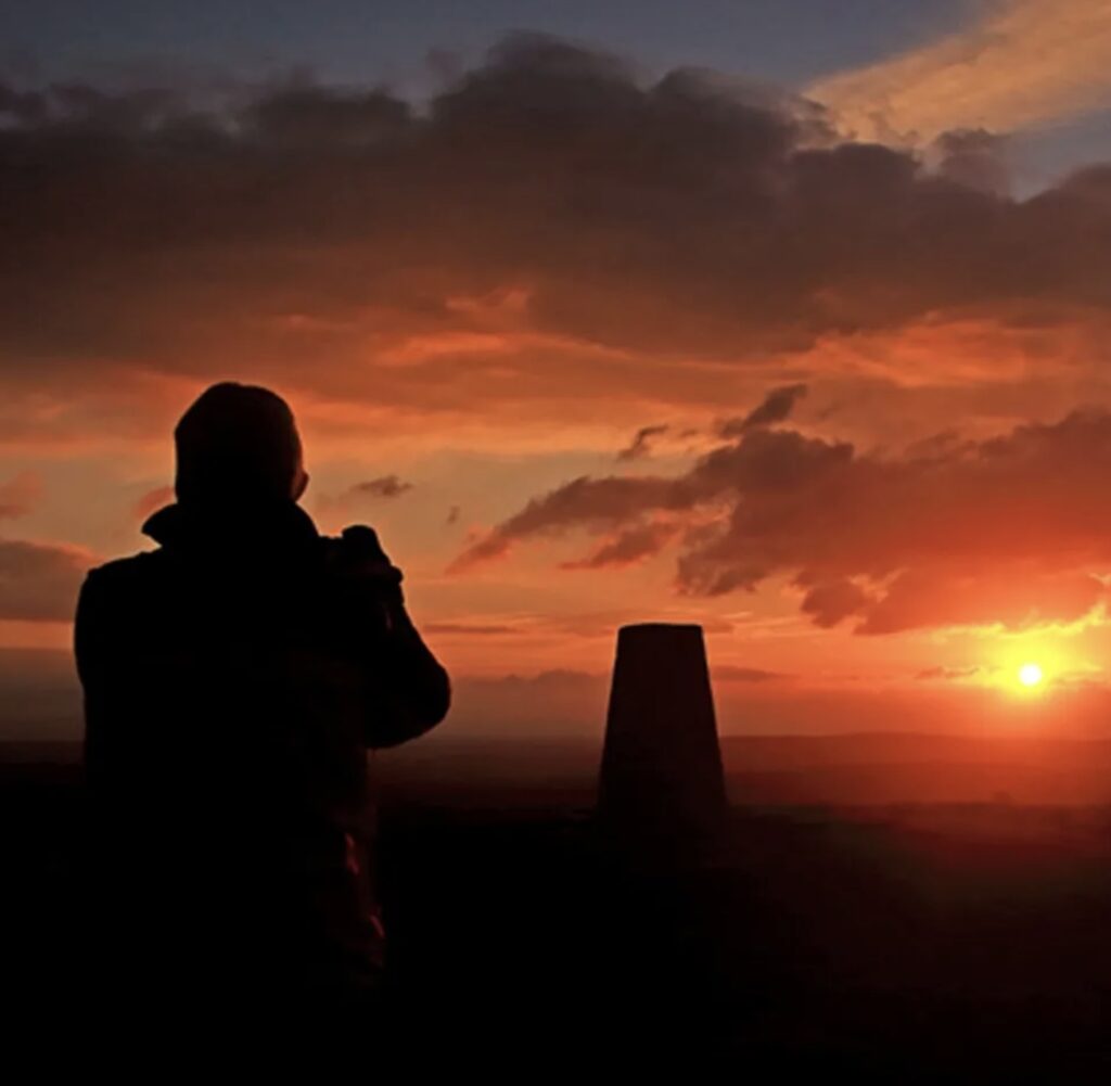
- Pillars: The trig points themselves are usually around 4 feet high and made of concrete. At the top, there’s often a metal plate with a bracket for a theodolite (a surveying instrument).
- Historical Importance: The network of trig points was essential before the advent of satellite-based GPS. It was key to creating the detailed and accurate maps that are still in use today.
- Modern Use: While technology has advanced, and GPS has largely taken over, trig points remain as historical markers and are often visited by hikers and survey enthusiasts. Some still hold value for specific surveying tasks.
Trig points are a unique part of the UK’s landscape, often located in scenic spots, making them popular destinations for outdoor enthusiasts.
The origin of trig points in the UK dates back to the 18th century, but their widespread use began in the 1930s as part of a nationwide effort by the Ordnance Survey to create accurate maps of Great Britain.
Origin:
- Early Surveying Efforts: The concept of triangulation for mapping dates back to the 18th century, with the first major triangulation of the UK beginning in 1783. However, it was not until the 1930s that the Ordnance Survey decided to establish a comprehensive network of trig points.
- 1936 Primary Triangulation: The project was initiated in 1936, led by Brigadier Martin Hotine, who was the head of the Trigonometrical and Levelling Section of the Ordnance Survey. The aim was to provide a precise and consistent framework of control points across the UK to support detailed map-making.
- Construction of Trig Points: Concrete trig pillars were built on high ground to act as fixed stations for theodolites, allowing surveyors to accurately measure angles and distances across the landscape.
How Many Trig Points?
- Total Number: Approximately 6,500 trig points were originally constructed as part of this project. The network was dense, ensuring that from any trig point, surveyors could see at least two other trig points to measure angles and create an accurate triangulation network.
- Current Status: Today, many of these trig points still exist, though some have been lost or destroyed over time. Some are no longer used for their original purpose, but many remain popular landmarks for hikers and map enthusiasts. The exact number still standing is slightly lower, with estimates around 5,000.
Trig points played a crucial role in the development of the UK’s highly detailed and accurate maps, which are still widely respected today. They are now part of the country’s heritage and serve as historical markers of the nation’s efforts to understand and map its own geography.
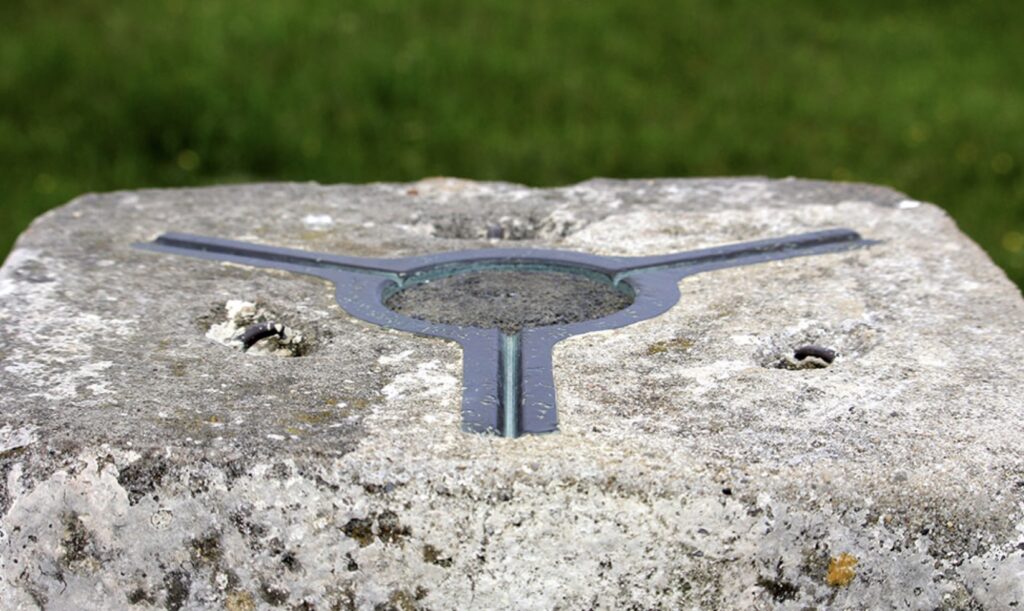
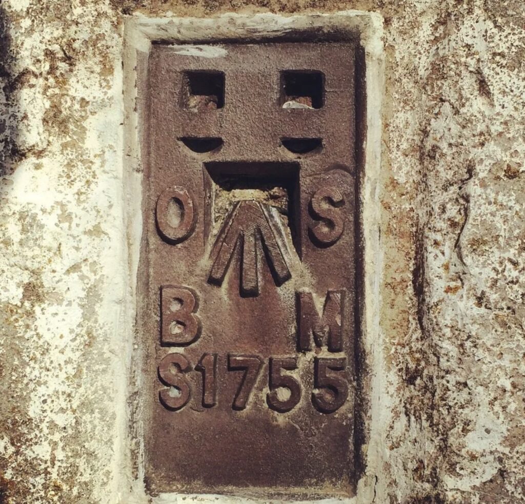
Flush brackets, often associated with trig points, are metal plates used historically by the Ordnance Survey (OS) in the UK for surveying and mapping. These flush brackets are typically mounted on buildings, bridges, walls, or even on the sides of trig points themselves. Here’s a closer look at what they are and their purpose:
What is a Flush Bracket?
- Design: A flush bracket is a rectangular metal plate, usually cast in iron or brass, with a unique identification number engraved on it. They also often feature a horizontal groove or bar, which served as a precise reference point for height measurements.
- Purpose: Flush brackets were primarily used as benchmarks, which are fixed points of known elevation above sea level. Surveyors used these benchmarks as reference points to determine the elevation of other locations accurately.
Use in Surveying:
- Levelling: In surveying, levelling involves determining the height of different points relative to a datum, usually mean sea level. Flush brackets provided consistent and reliable reference points across the landscape. Surveyors would use these brackets to ensure that their height measurements were accurate.
- Placement: Unlike trig points, which were usually placed on high ground for visibility, flush brackets were often installed on stable, permanent structures like buildings, churches, or bridges. This ensured they would remain in place for many years, providing a long-term reference.
Relationship with Trig Points:
- Associated with Trig Points: Many trig points have flush brackets mounted on their sides. These were used to provide an additional, precise height reference directly at the trig point location.
Modern Relevance:
- Legacy: While modern GPS technology has largely replaced the need for flush brackets in professional surveying, many of these benchmarks still exist today and are sometimes used by enthusiasts for historical or recreational purposes.
- Geocaching and Benchmarking: Similar to trig points, some people enjoy seeking out flush brackets as part of activities like geocaching or “benchmarking,” where individuals hunt for and document these historic survey markers.
Flush brackets are an interesting and often overlooked part of the UK’s surveying history, serving as essential tools in the creation of the highly accurate maps that are still in use today.
Here’s a fun fact about trig points in the UK:
- The First Trig Point: The very first trig point in the UK was erected on the summit of Haldon Hill in Devon on 18 April 1936. This trig point marked the beginning of the Ordnance Survey’s ambitious project to accurately map the entire country using a network of these concrete pillars.
- Highest Trig Point: The highest trig point in the UK is on the summit of Ben Nevis in Scotland, which stands at 1,345 meters (4,413 feet) above sea level. This trig point is often visited by climbers and hikers reaching the highest point in the British Isles.
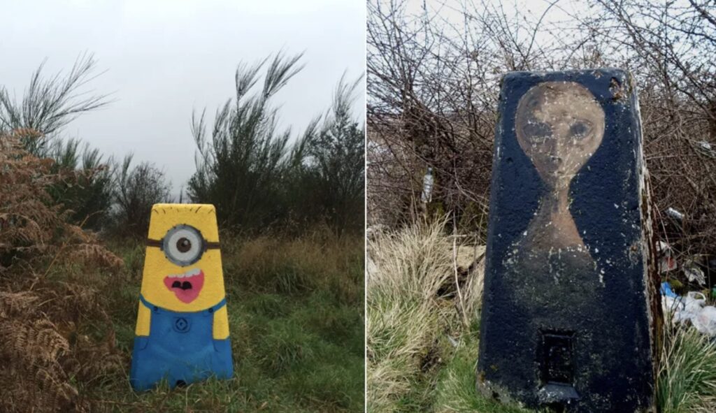
- Secret Messages: Some trig points have been found with small secret messages or items hidden inside them. Over the years, surveyors, hikers, or curious individuals have occasionally left notes, coins, or other small objects inside the metal plates or cracks in the concrete. It’s a little-known tradition that adds a bit of mystery to these historical markers!
These fun facts highlight the unique and sometimes quirky legacy of trig points, making them not just important tools for mapping but also interesting landmarks with their own stories.
Here are a few walks in the UK that involve visiting trig points, offering a combination of great scenery and a bit of history:
1. Scafell Pike, Lake District
- Trig Point: The trig point at the summit of Scafell Pike.
- Route: The most popular route starts from Wasdale Head. This walk is around 6 miles (10 km) and is quite challenging, involving steep ascents, but the reward is reaching the highest peak in England with stunning views of the Lake District.
- Highlights: In addition to the trig point, you’ll enjoy panoramic views of surrounding peaks and valleys.
2. Pen y Fan, Brecon Beacons
- Trig Point: The trig point on Pen y Fan, the highest peak in South Wales.
- Route: The “Horseshoe Ridge” walk is a classic route that takes you up to Pen y Fan and nearby Corn Du. It’s about 8 miles (13 km) long and offers breathtaking views across the Brecon Beacons.
- Highlights: On a clear day, you can see as far as the Bristol Channel. The trig point here is very popular with walkers and provides a great photo opportunity.
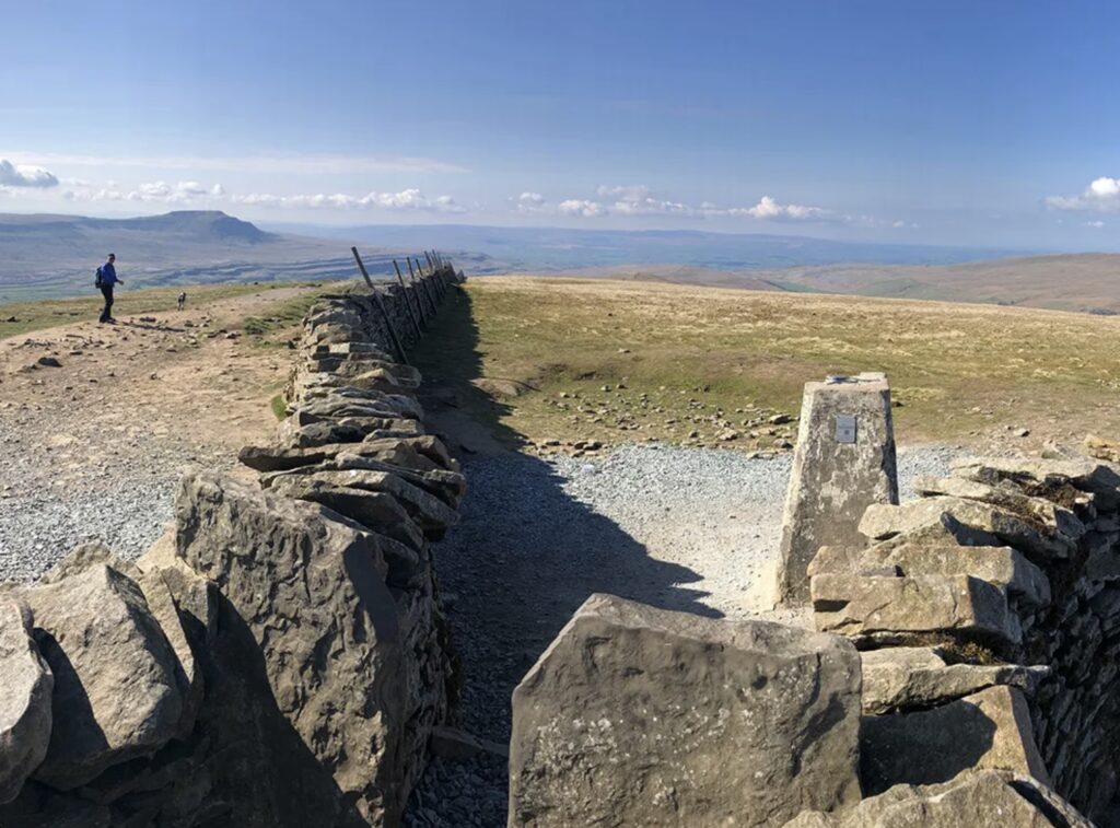
3. Kinder Scout, Peak District
- Trig Point: The Kinder Low trig point on Kinder Scout.
- Route: Start at Edale and follow the Pennine Way up to Kinder Scout. The full walk is around 8 miles (13 km) and includes some steep climbs and rugged terrain.
- Highlights: This walk includes the famous Kinder Downfall, a dramatic waterfall, and expansive views from the plateau. The trig point itself sits slightly lower than the highest point on Kinder Scout, but it’s a notable landmark on the walk.
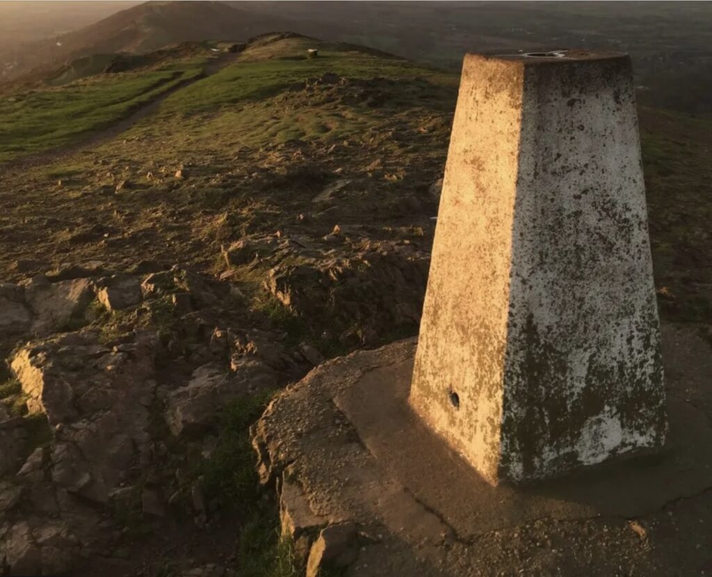
4. Mam Tor, Peak District
- Trig Point: The trig point on Mam Tor, known as the “Shivering Mountain.”
- Route: A circular walk starting from Castleton, taking you over Mam Tor and along the Great Ridge. This is a moderate 5-mile (8 km) route with stunning views of the Hope Valley.
- Highlights: Besides the trig point, the walk offers views of the Peak District’s rolling hills and, on a clear day, as far as Manchester.
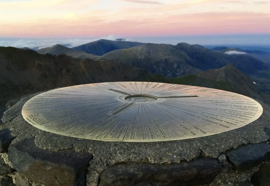
5. Snowdon, Snowdonia
- Trig Point: The trig point at the summit of Snowdon, the highest mountain in Wales.
- Route: The Pyg Track is one of the most popular routes to the summit, about 7 miles (11 km) round trip. It’s a strenuous climb but offers spectacular views.
- Highlights: Besides the trig point, reaching the summit provides views across the whole of Snowdonia and, on exceptionally clear days, as far as Ireland.
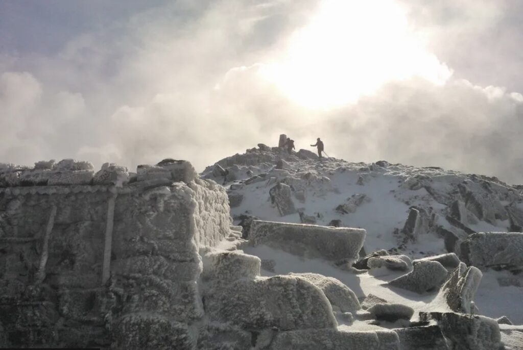
6. Ben Nevis, Scotland
- Trig Point: The trig point at the summit of Ben Nevis, the highest peak in the British Isles.
- Route: The Mountain Track (also known as the Tourist Route) is the most popular way to reach the summit. It’s a challenging 10.5 miles (17 km) out-and-back walk.
- Highlights: At the summit, the trig point marks the achievement of reaching the highest point in the UK, with sweeping views (weather permitting) over the Scottish Highlands.
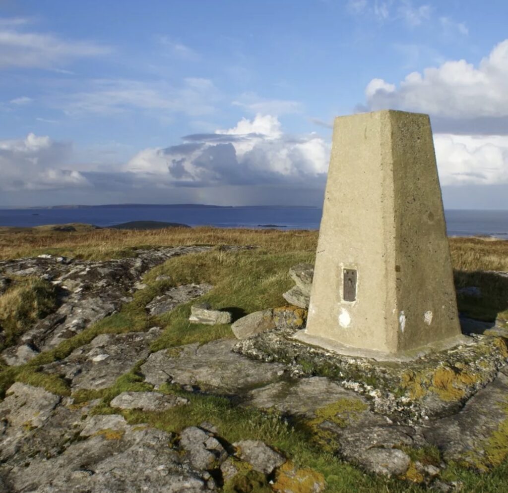
7. Cleeve Hill, Cotswolds
- Trig Point: The trig point on Cleeve Hill, the highest point in the Cotswolds.
- Route: A circular walk starting from the village of Winchcombe, covering about 6 miles (10 km). This is a moderate walk, with gentle ascents and descents.
- Highlights: The trig point on Cleeve Hill offers panoramic views across the Cotswolds, the Malvern Hills, and on clear days, even the Welsh mountains.
These walks are a great way to explore some of the UK’s most scenic landscapes while also visiting historic trig points. Whether you’re after a challenging hike or a more leisurely walk, there’s a trig point walk to suit every level of experience.

Trig points are not commonly used for mapping today in the way they were originally intended. The advent of modern technology, particularly satellite-based systems like GPS (Global Positioning System), has largely replaced the need for the traditional triangulation method that relied on trig points. However, there are a few specific scenarios where they are still relevant:
Modern Uses of Trig Points:
- Benchmarking and Calibration: Some trig points are still used for calibration purposes by surveyors and in some geodetic work. They can serve as reference points for checking the accuracy of GPS equipment.
- Historical and Educational Value: Trig points are of interest to historians, geographers, and enthusiasts who study the history of cartography and surveying. They offer educational insights into how mapping was done before the digital era.
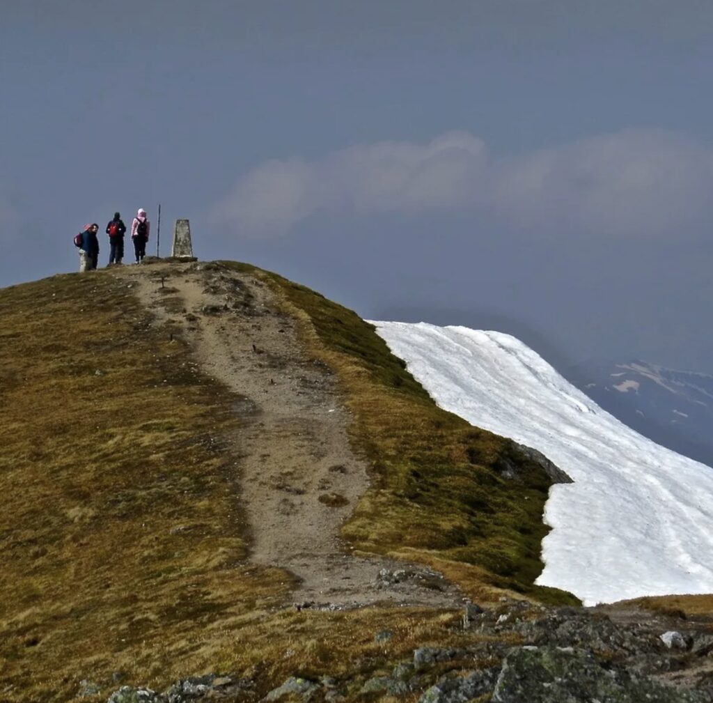
- Recreational Use: Hikers and outdoor enthusiasts often visit trig points as part of their activities. “Bagging” trig points (visiting and recording visits to these locations) is a popular challenge among hikers, similar to “Munro bagging” in Scotland.
- Geocaching: Some trig points are used as waypoints or markers in geocaching, a popular outdoor recreational activity where participants use GPS devices to hide and seek containers at specific locations marked by coordinates.
Decline in Professional Use:
- Satellite Mapping: The development of GPS and other satellite-based systems has revolutionized the field of surveying and mapping. These systems provide precise, real-time data, making traditional triangulation networks largely obsolete for most professional applications.
- Aerial and Remote Sensing: Aerial photography, LiDAR (Light Detection and Ranging), and remote sensing technologies have also contributed to more efficient and detailed mapping techniques, further reducing the need for ground-based triangulation.
While trig points have mostly transitioned from practical tools to historical artifacts and recreational markers, they remain a fascinating part of the UK’s surveying history and continue to be appreciated by those with an interest in the outdoors and cartography.